History
Pacifica is a coastal city that was a village site, a Spanish farming outpost, a Mexican rancho, a railroad suburb and a quarry town before it was a city at all. This page tells that story in short, with a link to the source for every claim.

A short history of Pacifica
Pacifica is a coastal city that was a village site, a Spanish farming outpost, a Mexican rancho, a railroad suburb and a quarry town before it was a city at all. This page tells that story in short, with a link to the source for every claim. For the full text of the old diaries and books, see the reading list.
The first people
Before Europeans arrived, Pacifica was home to two significant Ohlone villages: Pruristac, on San Pedro Creek near today’s Adobe Drive, and Timigtac, on Calera Creek in the Rockaway Beach neighborhood [1]. They were villages of the Aramai band of the Ramaytush Ohlone, and the only Ohlone villages between Montara Mountain and the Golden Gate [5]. A shell midden at Mori Point shows that people lived there long before the Spanish [4].
1769: the bay behind the hills
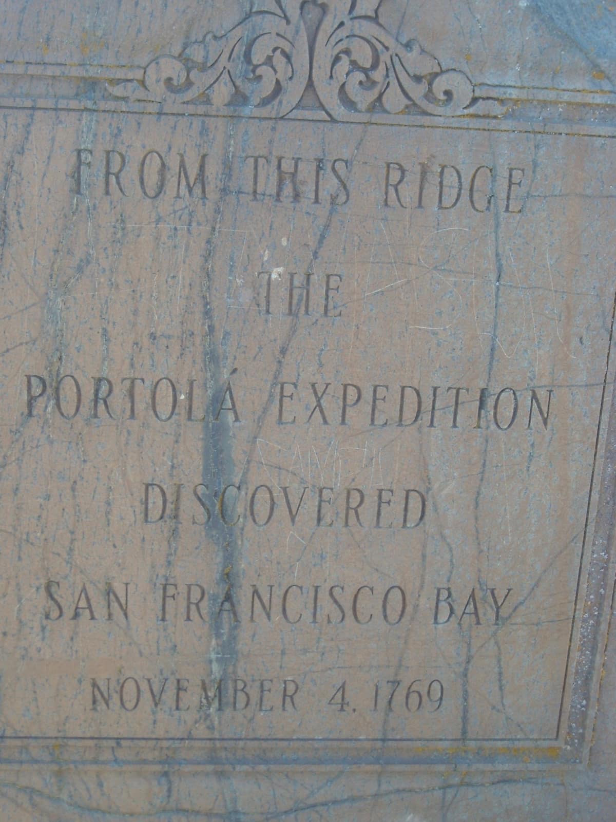
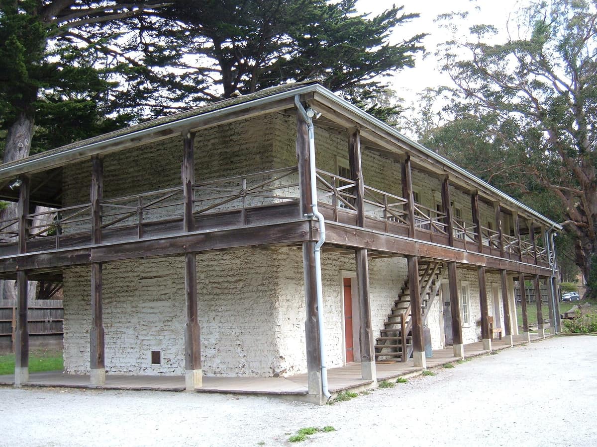
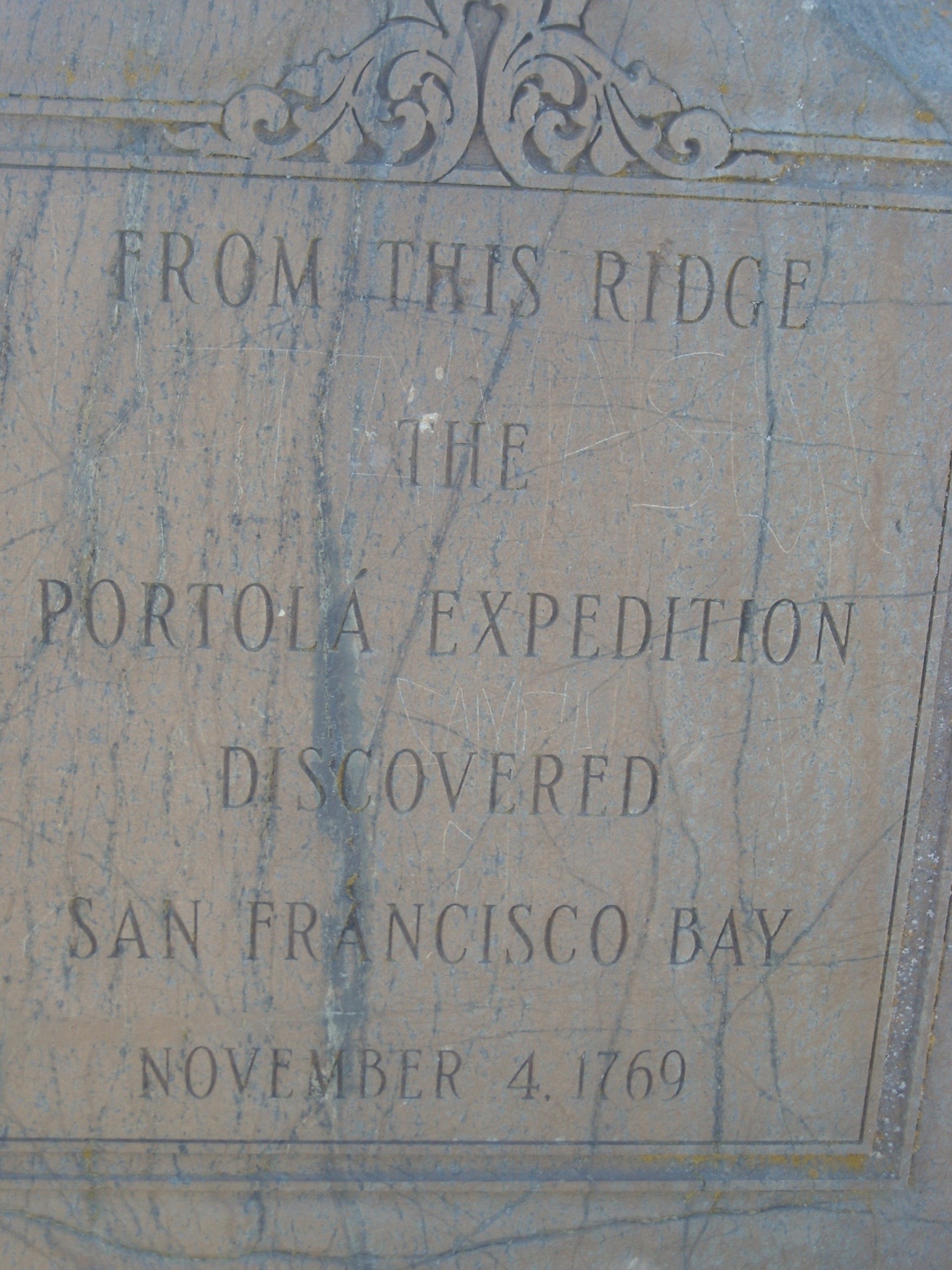
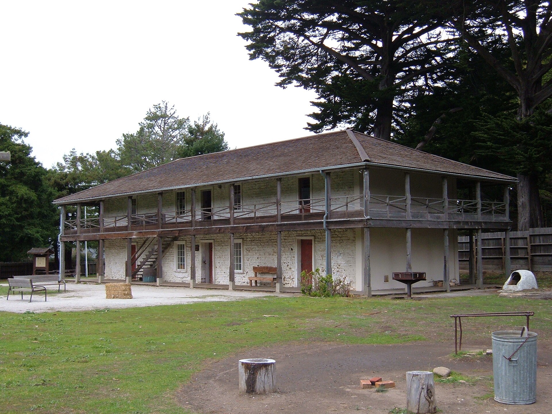
In the autumn of 1769 the overland expedition led by Gaspar de Portolá was looking for Monterey Bay and had passed it without knowing. On October 31 the expedition’s engineer, Miguel Costansó, wrote that the party descended to a camp near a stream and marsh not far from the beach, in a hollow of high hills [3]. The expedition camped near the site of the later Sánchez Adobe from October 31 to November 3 [2]. On November 4 the party climbed the range to the northeast and Costansó described seeing “the magnificent estuary” of San Francisco Bay [3]. It was the oldest European sighting of the bay: earlier sea captains Cabrillo and Vizcaíno had missed it because fog so often hid the Golden Gate [1]. The site of the sighting, on Sweeney Ridge, is now marked as the San Francisco Bay Discovery Site [11].
Mission outpost and rancho
In 1786 Mission Dolores set up a farming outpost, San Pedro y San Pablo Asistencia, in the San Pedro Valley. It had a granary, a chapel and four other rooms around a plaza [2]. The farming was abandoned four years later after a steep decline in the Native American population, and the outpost then lived on cattle ranching [2]. In 1782 and 1783 many people of Pruristac had already been relocated to Mission Dolores [2].
After Mexican independence the land became Rancho San Pedro, granted in 1839 to Francisco Sánchez, commandante of the San Francisco Presidio [1]. He built an adobe in the valley between 1842 and 1846, probably reusing bricks from the outpost [2]. The adobe is now a National Register site and a county house museum [2]. Edward Kirkpatrick bought the property in 1871 and enlarged the house to twenty rooms [2].
Limestone, a railroad and Prohibition
From 1776 the Spanish used Ohlone labor to cut limestone at the Rockaway Quarry for the Presidio and the missions [5]. After the 1906 earthquake the quarry reopened in 1907, and its stone served as ballast for the Ocean Shore Railroad and as building material to rebuild San Francisco [5]. The railroad, meant to link San Francisco to Santa Cruz, ran only as two separate pieces between 1905 and 1920 and never closed the gap [6]. Several of Pacifica’s future neighborhoods began as its stops [1], and its motto was “It reaches the Beaches!” [7].
During Prohibition the coast was a rum-runners’ landing. In 1923 federal agents seized 24,000 cases of whiskey from a farm at Mori Point, and the Mori Point Inn and the Sánchez Adobe both served as speakeasies [4] [2]. In 1917 the widow of the lawyer George Sharp had left the Sharp Park land to San Francisco for use as a public park [8]. Alister MacKenzie’s golf course there opened in 1932 [8].
War years
From 1942 to 1946 the area around Sharp Park held a detention station run by the immigration service for Japanese Americans, Japanese nationals and other people the government called foreign enemies [1] [8]. In the late 1930s and 1940s the Army fortified the ridges above the town for the defense of San Francisco Bay, including Milagra Ridge, which later held a Nike missile site [15]. Observation bunkers also stood at Devil’s Slide [10].
One city from nine neighborhoods
Pacifica incorporated in 1957, a recent date by San Mateo County standards. It was the union of nine unincorporated communities: Fairmont, Westview, Pacific Manor, Sharp Park, Fairway Park, Vallemar, Rockaway Beach, Linda Mar and Pedro Point [1]. Residents chose the name Pacifica by vote; Coastside was the runner-up [1]. Jean Fassler was elected the first mayor and was one of the first women mayors in California [12]. The city seal of 1960 took its cue from Ralph Stackpole’s “Pacifica” statue made for the 1939 world’s fair on Treasure Island [1].
Saving the shore
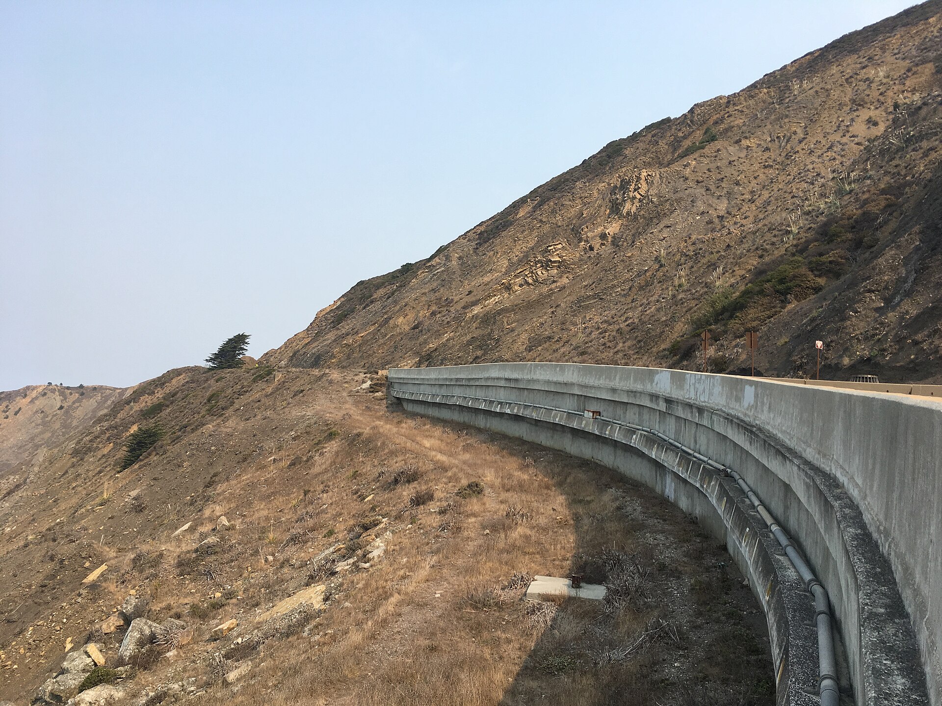
Many of Pacifica’s open spaces were won back by residents. Voters blocked development of the Milagra Ridge slopes in 1995 [15], and conservation groups bought Mori Point at auction in 2000 for $3.3 million and gave it to the federal government in 2002 [4]. Between 1989 and 2005 Pacifica State Beach was restored, including the 2002 removal of two oceanside homes, an early use of managed retreat [9]. Voters rejected plans to develop the closed Rockaway Quarry in 2005 and 2016 [5]. In 2013 the Tom Lantos Tunnels took Highway 1 behind the landslide-prone cliffs of Devil’s Slide, and the old road became a trail in 2014 [10].
Today
Pacifica had 38,640 residents at the 2020 census [1]. People come for beginner surf at Linda Mar, fishing from the pier, trails on Sweeney Ridge and Mori Point, and the beachfront Taco Bell [1] [9]. The Pacifica Historical Society runs the Coastside Museum and keeps the town’s stories [7]. The Pacifica Pier has been closed since June 2026 while the city seeks funding for repairs [14].
Key dates
01
1769
The Portolá expedition sees the bay
Camped in the San Pedro Valley, the overland party climbs the hills and sights San Francisco Bay on November 4. Source ↗
02
1786
Mission Dolores outpost
The San Pedro y San Pablo Asistencia is founded on the creek, where the Ohlone village of Pruristac stood. Source ↗
03
1839
Rancho San Pedro
Francisco Sánchez is granted the land that includes much of today’s Pacifica. Source ↗
04
1846
The Sánchez Adobe is finished
The Mexican-era house, begun in 1842, is completed on San Pedro Creek. Source ↗
05
1907
The quarry reopens for the railroad
The Rockaway Quarry supplies ballast for the Ocean Shore Railroad and stone to rebuild San Francisco after 1906. Source ↗
06
1923
24,000 cases at Mori Point
Federal agents seize whiskey worth two million dollars from a farm at Mori Point during Prohibition. Source ↗
07
1932
Sharp Park Golf Course opens
Alister MacKenzie’s oceanside public course opens on land left to San Francisco in 1917. Source ↗
08
1957
A city of nine communities
Pacifica incorporates and Jean Fassler becomes its first mayor. Source ↗
09
1973
The pier
The quarter-mile pier is built as part of the sewer system and later becomes a fishing pier. Source ↗
10
2002
Mori Point saved
Bought at auction two years earlier by conservation groups, the point is donated to the federal government. Source ↗
11
2013
The Devil’s Slide tunnels
The Tom Lantos Tunnels take Highway 1 behind the cliffs; the old road becomes a trail in 2014. Source ↗
Sources
1. Pacifica, California — Wikipedia
2. Sánchez Adobe Park — Wikipedia
3. The Portola Expedition of 1769–1770: Diary of Miguel Costanso (1911) — Internet Archive
5. Rockaway Quarry — Wikipedia
6. Ocean Shore Railroad — Wikipedia
7. Pacifica Historical Society
8. Sharp Park Golf Course — Wikipedia
9. Pacifica State Beach — Wikipedia
10. Devil’s Slide (California) — Wikipedia
Further reading
The Portola Expedition of 1769–1770: Diary of Miguel Costanso, Miguel Costanso, edited by Frederick J. Teggart (1911) — public domain, free to read online
History of San Mateo County, California, B. F. Alley (publisher) (1883)
The Discovery of San Francisco Bay: The Portola Expedition of 1769–1770, the Diary of Miguel Costanso, in Spanish and English, Miguel Costanso (1992) — borrow it from the Internet Archive